
- About Us
-
Our Services
Downloads
Inspection
Training & Suggestions
-
Other Offices
Division / District
Ministry/Division & Department
-
e-Services
National E-Service
Mobile App
-
Important Link
Ministry/Division
Others
-
Gallery
Photo Gallery
Video Gallery
-
Contact
Office Contact
Communication Map
-
Web Mail
মেনু নির্বাচন করুন
- About Us
-
Our Services
Downloads
Inspection
Training & Suggestions
-
Other Offices
Division / District
Ministry/Division & Department
-
e-Services
National E-Service
Mobile App
-
Important Link
Ministry/Division
Others
-
Gallery
Photo Gallery
Video Gallery
-
Contact
Office Contact
Communication Map
-
Web Mail
Main Comtent Skiped
At a glance
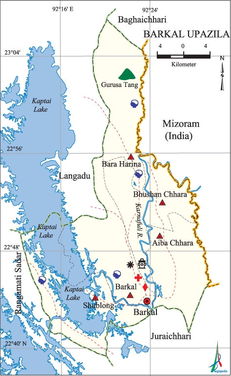
Barkal at a glance
Naming upazila:
The name of a remote area surrounded by mountains is Barkal. The meaning of "Barkal" in Chakma is "Big Tila". The Karnaphuli river goes through the upazila headquarters. A union under Barkal police station. Later, Barkal union was divided into 5 unions and in 1923, Barkak declared it as the Enchanted Police Station
Background:
Barkal Upazila (Rangamati District) Size: 760.88 sq km: M. Location: 22.4358 ° North Latitude, 92.2145 ° East Longitude. It is bounded by laldudud on the north, jurachari in the south, and Rangamati sadar on the west and Mizoram state of India on the east.
Borders
In reply: Ladudu,
South: Jurachharhi,
Rangamati Sadar to the west and
Mizoram state of India is located in the east
Population:
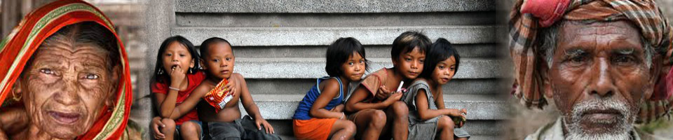
Barkal is a tribal inhabited area. The resident of Chakma, Marma, Tanchanga, Pankhwa and Awami people of this upazila. Among them, the highest number of Chakma tribes. Tribal population is 76.20% and non-native 23.80%. Most of the people here are agriculturists and some fisheries. Total population of the district is 39,781. Literacy rate among men is 47.1%, female 35.86% and the average literate 42%.
Total votes: 33,635 people (According to the 2008 voter list)
Male voter: 18,530 people
Female: 15,105 people
Village: 00.
Mouza: 28.
Union 5 (Subalong, Barkal, Aimachhra, Big Haraa).
Prominent personality:
Natural resources: Segun wood here is very famous.
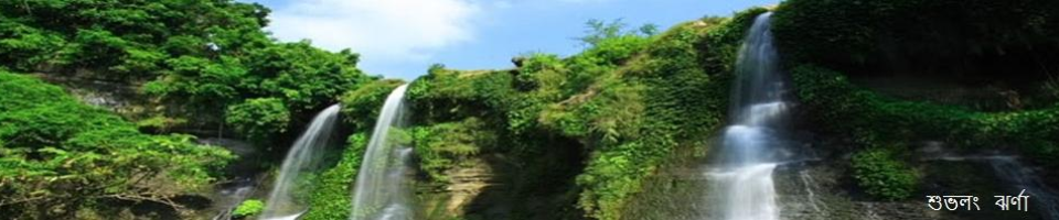
River: Karnafuli canal
Business: Here's the business of ginger, yellow, tobacco and callery.
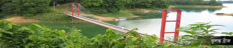
Communication: Launch, engine driven boats and boat transport.
Hats and bazars: 7 (Subhalong, Barkal, Aimachara, Bhushchhara, Big Hariña, Small Haraña, Thiga Mukhha).
Pictures
Attachment


Site was last updated:
2024-09-26 10:25:29
Planning and Implementation: Cabinet Division, A2I, BCC, DoICT and BASIS
Technical Assistance:
![]()
Developed By:
